The Haunted History of Spook Bridge: Georgia’s Eerie Legend
The Haunted History of Spook Bridge: Georgia’s Eerie Legend
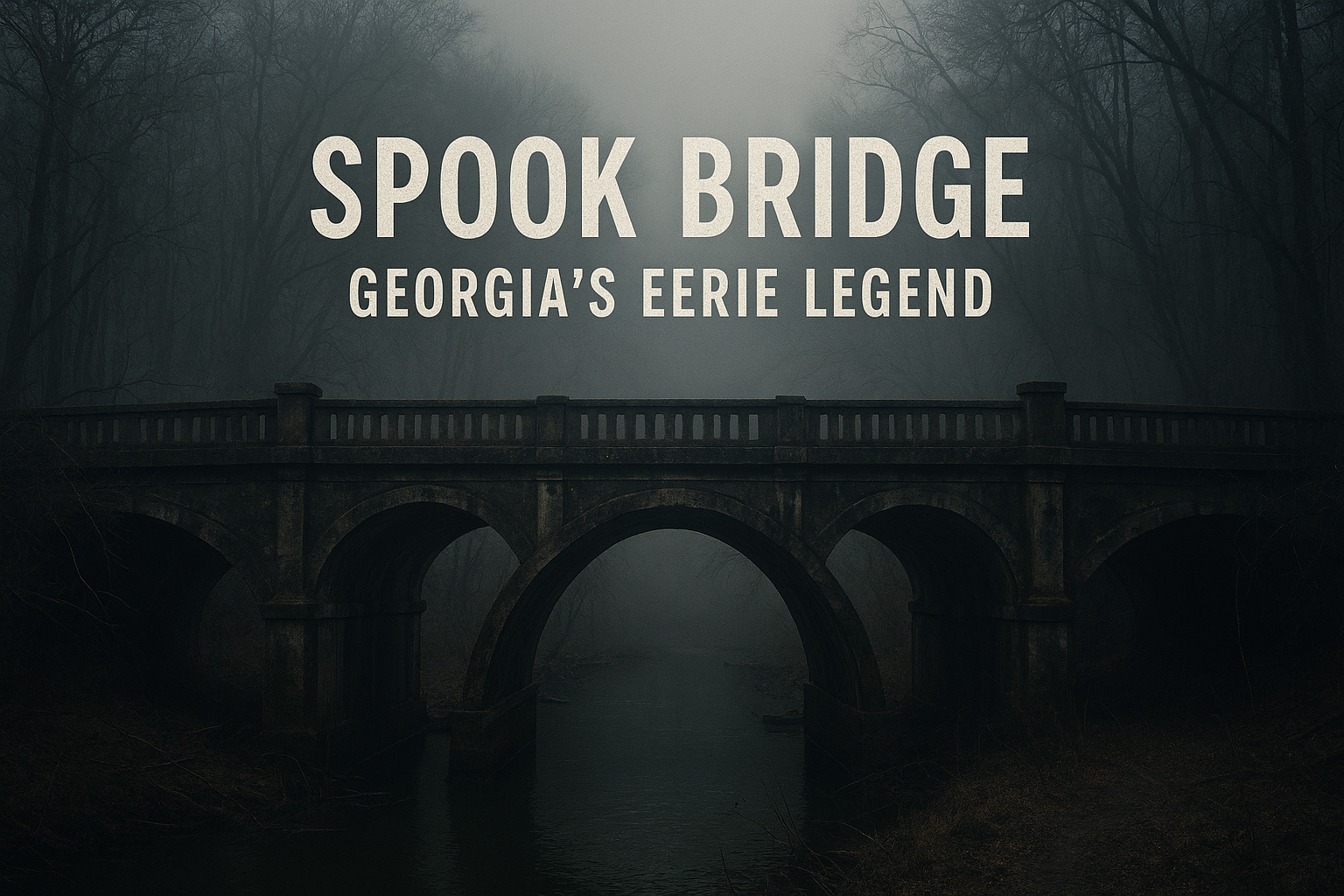
Tucked away in the quiet, rural countryside of Georgia lies a bridge shrouded in mystery, fear, and countless urban legends—Spook Bridge. Located near the small town of Surrency, this unassuming concrete bridge spanning a narrow creek has become the epicenter of ghost stories, paranormal speculation, and thrill-seeker fascination. To locals and visitors alike, Spook Bridge isn’t just a crossing—it’s a doorway into the unknown.
Origins of Spook Bridge
Spook Bridge, officially part of an abandoned stretch of the old U.S. Route 84, was constructed in the early 20th century. Its sturdy concrete frame, now weathered and cracked, was once a vital connection for farmers and townspeople navigating the swamplands of southeastern Georgia. Over the decades, however, the area around the bridge fell into neglect. Roads leading to the bridge deteriorated, surrounding forests reclaimed the land, and the quiet, isolated location set the stage for eerie tales to flourish.
The bridge earned its ominous nickname, “Spook Bridge,” from local residents, who began reporting strange happenings and supernatural occurrences as far back as the 1940s. From ghostly figures to unexplained sounds, the bridge quickly became a hotbed of folklore.
The Legends Begin
The legends surrounding Spook Bridge are numerous and macabre. Perhaps the most infamous story involves a tragic accident. According to local lore, in the 1960s, a young couple was reportedly crossing the bridge when their car skidded and plunged into the creek below, drowning both passengers. Since that day, drivers claim to hear ghostly screams or see phantom headlights on the bridge at night, even when no cars are present.
Another tale tells of a hanged man. Some locals whisper that the bridge was once the site of an execution or vigilante justice, and the restless spirit of the victim now roams the area. Visitors often report sudden drops in temperature, disembodied voices, and an overwhelming feeling of being watched—classic signs of a haunted location, according to paranormal investigators.
Paranormal Activity
Spook Bridge has attracted the attention of ghost hunters and thrill-seekers from across the country. Visitors frequently report:
- Apparitions: Shadowy figures appear near the bridge or along the darkened road.
- Strange Sounds: Whispers, screams, and footsteps are often heard echoing across the creek.
- Car Malfunctions: Vehicles inexplicably stall or experience battery failures while crossing.
- Cold Spots: Sudden drops in temperature that cannot be explained by weather conditions.
Some paranormal enthusiasts suggest the bridge’s history of death and isolation creates a kind of spiritual hotspot, making it a magnet for ghostly activity. Whether these claims are rooted in fact or fueled by imagination, the stories have persisted for generations.
A Place of Thrills and Terrors
Despite—or perhaps because of—its haunted reputation, Spook Bridge has become a destination for thrill-seekers. Teenagers often dare each other to cross the bridge at night, sometimes leaving offerings or attempting to summon spirits. Urban explorers document the decaying concrete and overgrown surroundings, capturing eerie photographs that add to the bridge’s mystique.
Local authorities, however, caution visitors. The bridge is structurally unsafe in places, and the surrounding woods are treacherous, especially after dark. Yet, this danger only seems to amplify the bridge’s allure for those chasing a brush with the supernatural.
Spook Bridge in Popular Culture
While Spook Bridge hasn’t yet reached the level of fame of places like the Bell Witch Cave in Tennessee or the Stanley Hotel in Colorado, it has appeared in numerous blogs, YouTube documentaries, and paranormal podcasts. Its reputation continues to grow, fueled by firsthand accounts, legends passed down through generations, and the general fascination with haunted, abandoned places.
Why Spook Bridge Continues to Captivate
The true power of Spook Bridge lies in its atmosphere. The dense surrounding woods, the quiet isolation, and the crumbling concrete all work together to create a setting ripe for ghost stories. Humans are naturally drawn to the mysterious, and places like Spook Bridge provide the perfect canvas for fear, folklore, and imagination. Whether you are a skeptic, a paranormal enthusiast, or just a curious traveler, the bridge offers a glimpse into the unknown—a reminder that sometimes, the past never truly lets go.
In the end, Spook Bridge remains a living legend, a dark chapter in Georgia’s history, and a reminder of how stories and spirits can intertwine with the world around us. Cross it if you dare, but beware—the ghosts of Spook Bridge are said to never forget.
Location Photos (0)
No photos yet. Be the first to share a photo of this location!